Explore our travels: Africa safari, India, Turkey .... Follow us on Mastodon

Previous Image

|

Next Image
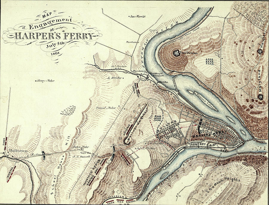
Map of Harpers Ferry, West Virginia in 1864,  #2 Photograph by Steve Estvanik

Similar Images

Antique map of Mechelen - Malines in Belgium  by Steve Estvanik
Antique map of Africa #1 by Steve Estvanik
Antique map of  Conde by Steve Estvanik
Polar map of the world by Steve Estvanik
Antique Map of Transylvania, Romania by Steve Estvanik
Antique Map of the Netherlands by Steve Estvanik
Map of invasions from Central Asia by Steve Estvanik
Map of travel and conquests of Alexander the Great by Steve Estvanik
Antique Map of Denmark by Steve Estvanik
Map of the World by Steve Estvanik
Antique Maps of the World Double Hemisphere Map by Steve Estvanik
Antique map of town and citadel of Limburgh,  by Steve Estvanik
Antique map of India   by Steve Estvanik
Antique map of Coni by Steve Estvanik
Antique map of Port of Villafranca by Steve Estvanik
Celestial Map by Steve Estvanik
Antique map of Europe by Steve Estvanik
Medieval map of the world by Steve Estvanik
Antique map of  Trevigny Trevise near Venice, Italy by Steve Estvanik

Comments (1)

Jim Cook

Jim Cook

Of interest, especially to history and civil war buffs. Fav

Recently Viewed

Map of Harper's Ferry, West Virginia in 1864,  #2 by Steve Estvanik
Previous Image Next Image