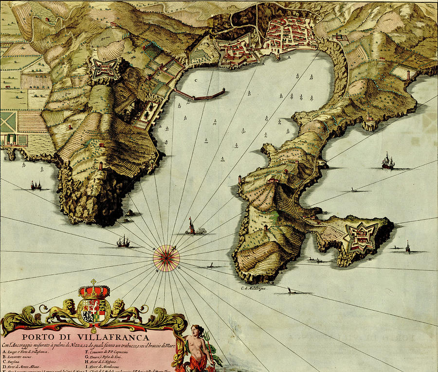
Antique map of Port of Villafranca

by Steve Estvanik
Title
Antique map of Port of Villafranca
Artist
Steve Estvanik
Medium
Photograph
Description
Antique map of Port of Villafranca from the Atlas of fortifications and battles, by Anna Beek and Gaspar Baillieu Originally published in 17th century.
Uploaded
November 1st, 2019
Statistics
Viewed 152 Times - Last Visitor from New York, NY on 04/24/2024 at 2:27 AM
Embed
Share
Sales Sheet
Comments
There are no comments for Antique map of Port of Villafranca. Click here to post the first comment.


